Geolocate

Archbold topographic map

Click on the map to display elevation.

About this map

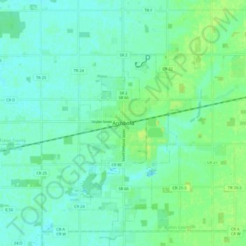
Name: Archbold topographic map, elevation, terrain.

Location: Archbold, Fulton County, Ohio, 43502, United States (41.48113 -84.34655 41.56113 -84.26655)

Average elevation: 221 m

Minimum elevation: 215 m

Maximum elevation: 234 m

Gear up for your next adventure:

🛌Down Sleeping Bag - Superior warmth-to-weight ratio for cold nights
🛌Insulated Sleeping Pad - Critical thermal barrier between you and the cold ground
🧣Merino Neck Gaiter - Protects against wind, sun, and cold at high altitudes
🧭GPS Outdoor Watch - Smart watch for navigation and fitness tracking in nature
🥾Mountaineering Boots - Supportive boots for climbing and high-altitude hiking

As an Amazon Associate, this site earns from qualifying purchases at no extra cost to you.