Geolocate

Clear Lake topographic map

Click on the map to display elevation.

About this map

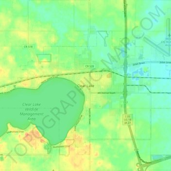
Name: Clear Lake topographic map, elevation, terrain.

Location: Clear Lake, Cerro Gordo County, Iowa, 50428, United States (43.09708 -93.42136 43.17708 -93.34136)

Average elevation: 373 m

Minimum elevation: 357 m

Maximum elevation: 398 m

Gear up for your next adventure:

🧦Crew Hiking Socks - Comfortable socks for long-distance hikes
💧Reusable Water Bottle - Durable water bottles for hydration on trails
🏕️Camping Hammock - Integrated protection for sleeping between trees
🧰Emergency Multi-Tool - Compact multi-tool for outdoor survival
🧥Thermal Layer - Insulating layer for cold outdoor conditions

As an Amazon Associate, this site earns from qualifying purchases at no extra cost to you.