Geolocate

Central topographic map

Click on the map to display elevation.

About this map

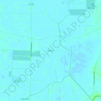
Name: Central topographic map, elevation, terrain.

Location: Central, Yolo County, California, United States (38.37269 -121.59301 38.41269 -121.55301)

Average elevation: 1 m

Minimum elevation: -1 m

Maximum elevation: 6 m

Other topographic maps

Click on a map to view its topography, its elevation and its terrain.

Gear up for your next adventure:

🛰️Satellite Messenger - Emergency communication for areas with no cell service
🧣Merino Neck Gaiter - Protects against wind, sun, and cold at high altitudes
🌬️Windproof Camp Stove - Efficient cooking even on exposed mountain peaks
🧥Softshell Hiking Jacket - The perfect balance of wind protection and breathability
📷Outdoor Action Camera - Capture high-elevation views and rugged adventures

As an Amazon Associate, this site earns from qualifying purchases at no extra cost to you.