
Los Altos topographic map
Interactive map
Click on the map to display elevation.
About this map
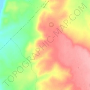
Name: Los Altos topographic map, elevation, terrain.
Location: Los Altos, La Yunta, Guadalajara, Castilla-La Mancha, España (40.93233 -1.70158 40.95233 -1.68158)
Average elevation: 1,115 m
Minimum elevation: 1,047 m
Maximum elevation: 1,163 m