
San Fiz topographic map
Interactive map
Click on the map to display elevation.
About this map
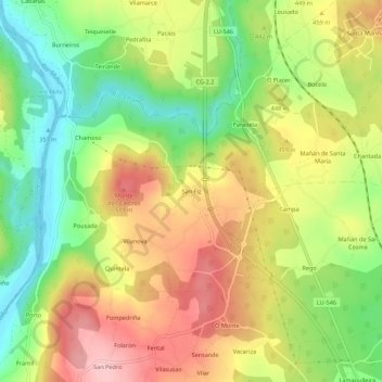
Name: San Fiz topographic map, elevation, terrain.
Location: San Fiz, Lugo, Galicia, 27163, España (42.91080 -7.51421 42.95080 -7.47421)
Average elevation: 436 m
Minimum elevation: 352 m
Maximum elevation: 524 m