
Lieve topographic map
Interactive map
Click on the map to display elevation.
About this map
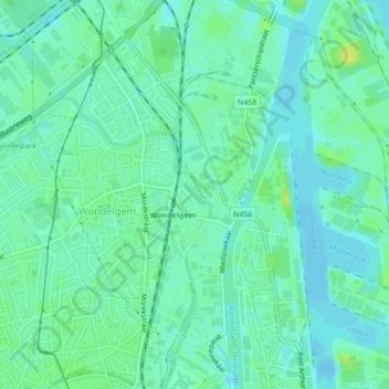
Name: Lieve topographic map, elevation, terrain.
Location: Lieve, Ghent, Gent, East Flanders, Flanders, 9032, Belgium (51.08820 3.72041 51.09128 3.72387)
Average elevation: 6 m
Minimum elevation: -8 m
Maximum elevation: 17 m