
Gray topographic map
Interactive map
Click on the map to display elevation.
About this map
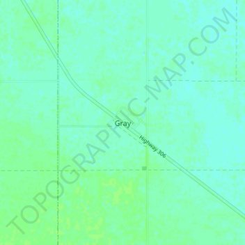
Name: Gray topographic map, elevation, terrain.
Location: Gray, Census Division No. 6, Saskatchewan, Canada (50.15131 -104.46694 50.19131 -104.42694)
Average elevation: 581 m
Minimum elevation: 577 m
Maximum elevation: 584 m