
Saint Andrew topographic map
Interactive map
Click on the map to display elevation.
About this map
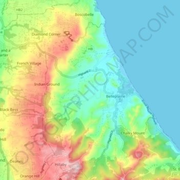
Name: Saint Andrew topographic map, elevation, terrain.
Location: Saint Andrew, Barbados (13.20388 -59.60337 13.28277 -59.54191)
Average elevation: 114 m
Minimum elevation: -1 m
Maximum elevation: 319 m
Other topographic maps
Click on a map to view its topography, its elevation and its terrain.