
Kampung Seberang Takir Hulu topographic map
Interactive map
Click on the map to display elevation.
About this map
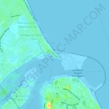
Name: Kampung Seberang Takir Hulu topographic map, elevation, terrain.
Location: Kampung Seberang Takir Hulu, Terengganu, 20000, Malaysia (5.32647 103.11635 5.36647 103.15635)
Average elevation: 3 m
Minimum elevation: -2 m
Maximum elevation: 29 m