
Mua topographic map
Interactive map
Click on the map to display elevation.
About this map
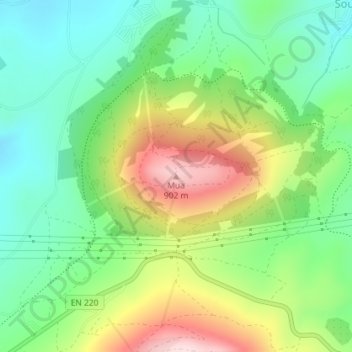
Name: Mua topographic map, elevation, terrain.
Location: Mua, Torre de Moncorvo, Bragança, Portugal (41.19465 -6.95585 41.19475 -6.95575)
Average elevation: 695 m
Minimum elevation: 575 m
Maximum elevation: 897 m