
Baramulla topographic map
Interactive map
Click on the map to display elevation.
About this map
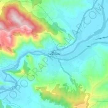
Name: Baramulla topographic map, elevation, terrain.
Location: Baramulla, Baramula, Jammu-et-Cachemire, 193101, Inde (34.04869 74.18350 34.36869 74.50350)
Average elevation: 1,969 m
Minimum elevation: 1,435 m
Maximum elevation: 3,806 m