Geolocate

Cardwell topographic map

Click on the map to display elevation.

About this map

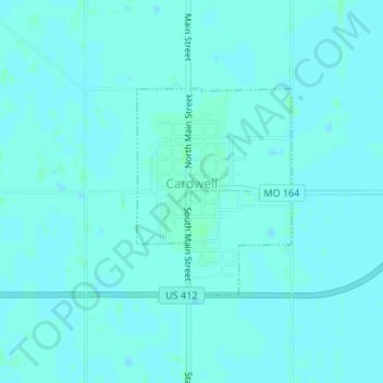
Name: Cardwell topographic map, elevation, terrain.

Location: Cardwell, Dunklin County, Missouri, 63829, United States (36.03912 -90.29770 36.05368 -90.28417)

Average elevation: 75 m

Minimum elevation: 73 m

Maximum elevation: 77 m

Gear up for your next adventure:

🔋Solar Power Bank - Keep your GPS and devices charged during long outdoor trips
🥾Waterproof Trail Shoes - Shoes designed to handle wet terrain
🛏️Sleeping Bag - Warm and compact sleeping bags for outdoor camping
🛰️Satellite Messenger - Emergency communication for areas with no cell service
🧴Outdoor Sunscreen - High SPF protection for high-altitude UV exposure

As an Amazon Associate, this site earns from qualifying purchases at no extra cost to you.