Geolocate

Shey topographic map

Click on the map to display elevation.

About this map

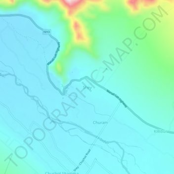
Name: Shey topographic map, elevation, terrain.

Location: Shey, Leh Tehsil, Leh district, Ladakh, 194201, India (34.05134 77.61972 34.09134 77.65972)

Average elevation: 3,282 m

Minimum elevation: 3,225 m

Maximum elevation: 3,598 m

Gear up for your next adventure:

🕯️Camping Lantern - Illuminates your entire campsite with high-efficiency LEDs
💧Reusable Water Bottle - Durable water bottles for hydration on trails
🧴Sunscreen SPF - Broad-spectrum sunscreen for outdoor activities
🚑Survival Whistle - Signal for help across long distances in mountains
🛌Insulated Sleeping Pad - Critical thermal barrier between you and the cold ground

As an Amazon Associate, this site earns from qualifying purchases at no extra cost to you.