Geolocate

82362 topographic map

Click on the map to display elevation.

About this map

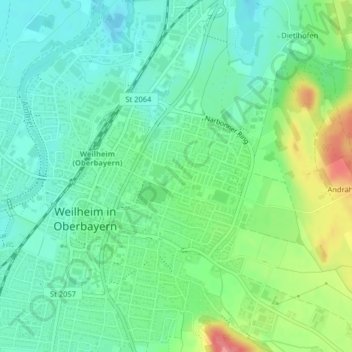
Name: 82362 topographic map, elevation, terrain.

Location: 82362, Weilheim in Oberbayern, Landkreis Weilheim-Schongau, Bayern, Deutschland (47.84274 11.15196 47.84284 11.15206)

Average elevation: 570 m

Minimum elevation: 546 m

Maximum elevation: 622 m

Gear up for your next adventure:

Backpacking Tent - Lightweight tent for long-distance hiking trips
🥾Durable Hiking Shoes - Long-lasting shoes for frequent hiking
🧥Softshell Hiking Jacket - The perfect balance of wind protection and breathability
Lightweight Backpacking Tent - Compact tent for efficient hiking trips
🔦UV Flashlight - Detect minerals or specific insects in the dark

As an Amazon Associate, this site earns from qualifying purchases at no extra cost to you.