Geolocate

Coffee Pot topographic map

Click on the map to display elevation.

About this map

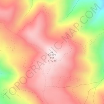
Name: Coffee Pot topographic map, elevation, terrain.

Location: Coffee Pot, Trinity County, California, United States (40.28065 -123.51369 40.28075 -123.51359)

Average elevation: 1,470 m

Minimum elevation: 1,028 m

Maximum elevation: 1,707 m

Other topographic maps

Click on a map to view its topography, its elevation and its terrain.

Mad River

United States > California > Trinity County

Average elevation: 1,239 m

Shimmy Lake

United States > California > Trinity County

Average elevation: 1,917 m

Summit Lake

United States > California > Trinity County

Average elevation: 2,153 m

Gear up for your next adventure:

🧥Packable Rain Jacket - Breathable waterproof layer for unpredictable weather
🦶Hiking Shoe Insoles - Added support for high arches and long days on feet
🪑Insulated Seat Pad - Protect your seat from cold rocks and wet logs
🦯Trekking Poles - Reduced impact on joints for steep topographic climbs
🧦Hiking Socks - Moisture-wicking and comfortable socks for long hikes

As an Amazon Associate, this site earns from qualifying purchases at no extra cost to you.