Geolocate

Morro do Cachorro topographic map

Click on the map to display elevation.

About this map
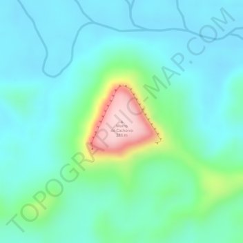
Name: Morro do Cachorro topographic map, elevation, terrain.

Location: Morro do Cachorro, Oriximiná, Região Geográfica Imediata de Oriximiná, Região Geográfica Intermediária de Santarém, Pará, Região Norte, Brasil (-1.00370 -57.12930 -1.00360 -57.12920)

Average elevation: 86 m

Minimum elevation: 26 m

Maximum elevation: 279 m

Other topographic maps

Click on a map to view its topography, its elevation and its terrain.

Oriximiná

Brasil > Pará > Oriximiná

Average elevation: 216 m

Gear up for your next adventure:

🪑Ultralight Camping Stool - Compact seating for rest stops during long hikes
🔦UV Flashlight - Detect minerals or specific insects in the dark
🛌Down Sleeping Bag - Superior warmth-to-weight ratio for cold nights
🧢Sun Protection Cap - Breathable cap to protect from sun exposure
🧼Travel Hand Sanitizer - Keep hands clean when water is scarce

As an Amazon Associate, this site earns from qualifying purchases at no extra cost to you.