Geolocate

Huayllacucho topographic map

Click on the map to display elevation.

About this map

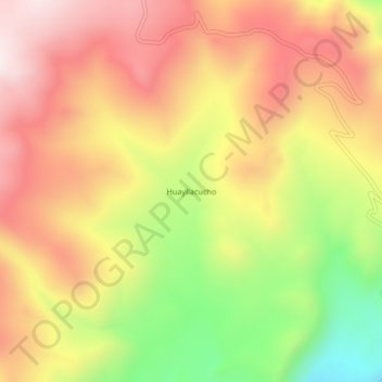
Name: Huayllacucho topographic map, elevation, terrain.

Location: Huayllacucho, Cotaruse, Aymaraes, Apurímac, Perú (-14.76821 -73.49738 -14.72821 -73.45738)

Average elevation: 4,230 m

Minimum elevation: 3,822 m

Maximum elevation: 4,540 m

Gear up for your next adventure:

Backpacking Tent - Lightweight tent for long-distance hiking trips
🔋Solar Power Bank - Keep your GPS and devices charged during long outdoor trips
Camping Groundsheet - Protect your tent from moisture and dirt
🦶Hiking Shoe Insoles - Added support for high arches and long days on feet
🥾Trail Hiking Boots - Supportive boots for rough trails

As an Amazon Associate, this site earns from qualifying purchases at no extra cost to you.