Geolocate

Durg topographic map

Click on the map to display elevation.

About this map

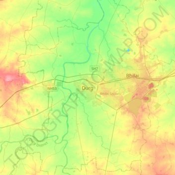
Name: Durg topographic map, elevation, terrain.

Location: Durg, Durg Tahsil, Durg District, Chhattisgarh, 491002, India (21.02965 81.12511 21.34965 81.44511)

Average elevation: 295 m

Minimum elevation: 259 m

Maximum elevation: 343 m

Gear up for your next adventure:

🧤Insulated Winter Gloves - Heavy-duty protection for sub-zero Canadian adventures
🧤Thermal Hiking Gloves - Grip-enhanced gloves for cold-weather altitude trekking
🦯Trekking Poles - Reduced impact on joints for steep topographic climbs
🧭GPS Outdoor Watch - Smart watch for navigation and fitness tracking in nature
Camping Essentials - All-in-one gear for a comfortable camping trip

As an Amazon Associate, this site earns from qualifying purchases at no extra cost to you.