
Wardsboro topographic map
Interactive map
Click on the map to display elevation.
About this map
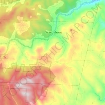
Name: Wardsboro topographic map, elevation, terrain.
Location: Wardsboro, Windham County, Vermont, USA (42.98665 -72.87945 43.05364 -72.73392)
Average elevation: 503 m
Minimum elevation: 166 m
Maximum elevation: 888 m