Geolocate

Preggio topographic map

Click on the map to display elevation.

About this map
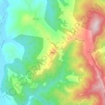
Name: Preggio topographic map, elevation, terrain.

Location: Preggio, Umbertide, Perugia, Umbria, 06019, Italy (43.22213 12.20306 43.26213 12.24306)

Average elevation: 497 m

Minimum elevation: 287 m

Maximum elevation: 816 m

Gear up for your next adventure:

🥫Freeze-Dried Meals - Lightweight, high-calorie nutrition for multi-day treks
🧢Hiking Sun Hat - Wide-brimmed protection for exposed mountain ridges
☕Camping Coffee Maker - Brew fresh coffee anywhere on the topographic map
❄️Traction Ice Cleats - Slip-on spikes for icy trails and winter hiking
📷Outdoor Action Camera - Capture high-elevation views and rugged adventures

As an Amazon Associate, this site earns from qualifying purchases at no extra cost to you.