
Salhab topographic map
Interactive map
Click on the map to display elevation.
About this map
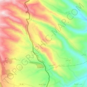
Name: Salhab topographic map, elevation, terrain.
Average elevation: 421 m
Minimum elevation: 207 m
Maximum elevation: 642 m
Other topographic maps
Click on a map to view its topography, its elevation and its terrain.
Idlib District
Idlib District, Idlib Governorate, Syria
Average elevation: 392 m
Khan Shaykhun
Khan Shaykhun, Khan Shaykhun Subdistrict, Maarat Al-Nu'man District, Idlib Governorate, Syria
Average elevation: 385 m
Jisr ash-Shugur
Syria > Idlib Governorate > Jisr ash-Shugur
Jisr ash-Shugur, Jish Al-Shughur Subdistrict, Jish Al-Shughur District, Idlib Governorate, Syria
Average elevation: 444 m