
Río Guayambre topographic map
Interactive map
Click on the map to display elevation.
About this map
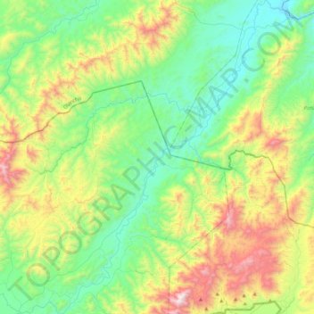
Name: Río Guayambre topographic map, elevation, terrain.
Location: Río Guayambre, Patuca, El Paraíso, Honduras (14.06387 -86.34432 14.46311 -85.99927)
Average elevation: 693 m
Minimum elevation: 257 m
Maximum elevation: 1,700 m