Geolocate

Sneads topographic map

Click on the map to display elevation.

About this map

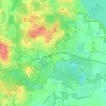
Name: Sneads topographic map, elevation, terrain.

Location: Sneads, Jackson County, Florida, 32460, United States (30.69333 -84.94477 30.72297 -84.88571)

Average elevation: 39 m

Minimum elevation: 9 m

Maximum elevation: 84 m

Other topographic maps

Click on a map to view its topography, its elevation and its terrain.

Pike Bay

United States > Florida > Jackson County

Average elevation: 46 m

Gear up for your next adventure:

💡Portable Camping Lamp - Rechargeable lamp for campsite lighting
🧦Hiking Socks - Moisture-wicking and comfortable socks for long hikes
🧤Rechargeable Heated Gloves - Extreme warmth for Canadian winter expeditions
🛏️Sleeping Bag - Warm and compact sleeping bags for outdoor camping
🥾Approach Boots - Comfortable boots for hiking and climbing approaches

As an Amazon Associate, this site earns from qualifying purchases at no extra cost to you.