
Huncherange topographic map
Interactive map
Click on the map to display elevation.
About this map
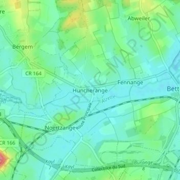
Name: Huncherange topographic map, elevation, terrain.
Average elevation: 288 m
Minimum elevation: 267 m
Maximum elevation: 364 m
Other topographic maps
Click on a map to view its topography, its elevation and its terrain.
Abweiler
Luxembourg > Canton Esch-sur-Alzette > Bettembourg
Abweiler, Bettembourg, Canton Esch-sur-Alzette, 3311, Luxembourg
Average elevation: 296 m