
Thank you for supporting this site ❤️
Make a donation
Make a donation
Gear up for your next adventure:
As an Amazon Associate, this site earns from qualifying purchases at no extra cost to you.
Hadmatiya topographic map
Click on the map to display elevation.
Thank you for supporting this site ❤️
Make a donation
Make a donation
Gear up for your next adventure:
As an Amazon Associate, this site earns from qualifying purchases at no extra cost to you.
About this map
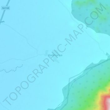
Name: Hadmatiya topographic map, elevation, terrain.
Location: Hadmatiya, Reodar Tehsil, Sirohi, Rajasthan, India (24.62183 72.66557 24.66183 72.70557)
Average elevation: 318 m
Minimum elevation: 279 m
Maximum elevation: 899 m
Thank you for supporting this site ❤️
Make a donation
Make a donation
Gear up for your next adventure:
As an Amazon Associate, this site earns from qualifying purchases at no extra cost to you.