
Nakasongola topographic map
Interactive map
Click on the map to display elevation.
About this map
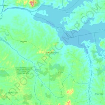
Name: Nakasongola topographic map, elevation, terrain.
Location: Nakasongola, Central Region, Ouganda (0.96149 31.96764 1.67804 32.79994)
Average elevation: 1,062 m
Minimum elevation: 1,031 m
Maximum elevation: 1,374 m