Geolocate

Mabitac topographic map

Click on the map to display elevation.

About this map

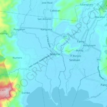
Name: Mabitac topographic map, elevation, terrain.

Location: Mabitac, Laguna, Calabarzon, 4020, Philippines (14.38634 121.38809 14.46634 121.46809)

Average elevation: 43 m

Minimum elevation: -7 m

Maximum elevation: 511 m

Gear up for your next adventure:

🥾Trail Running Boots - Durable shoes designed for trail running
🧊Portable Cooler - Keep food and drinks cold during outdoor adventures
🥾Light Trekking Boots - Supportive boots for multi-day treks
🔦LED Headtorch - Bright and durable light for night activities
🥾All-Terrain Hiking Boots - Versatile boots for varied hiking conditions

As an Amazon Associate, this site earns from qualifying purchases at no extra cost to you.