Geolocate

Pelling topographic map

Click on the map to display elevation.

About this map

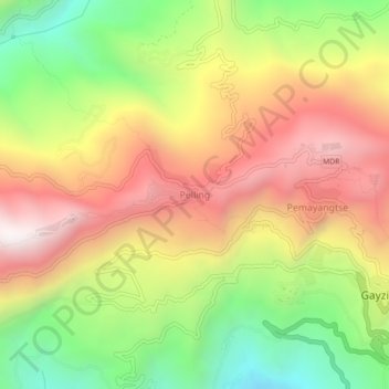
Name: Pelling topographic map, elevation, terrain.

Location: Pelling, Gyalshing, Sikkim, 737113, India (27.28037 88.21565 27.32037 88.25565)

Average elevation: 1,552 m

Minimum elevation: 914 m

Maximum elevation: 2,172 m

Gear up for your next adventure:

🎒Hiking Backpack - Lightweight and ergonomic backpacks for day hikes or multi-day treks
🛌Insulated Sleeping Pad - Critical thermal barrier between you and the cold ground
🧤Insulated Winter Gloves - Heavy-duty protection for sub-zero Canadian adventures
🧴First Aid Kit - Essential first aid supplies for outdoor emergencies
🧣Merino Neck Gaiter - Protects against wind, sun, and cold at high altitudes

As an Amazon Associate, this site earns from qualifying purchases at no extra cost to you.