Geolocate

Dopo topographic map

Click on the map to display elevation.

About this map

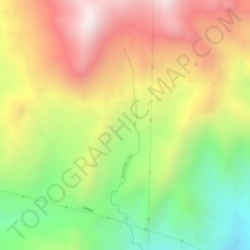
Name: Dopo topographic map, elevation, terrain.

Location: Dopo, Yotoco, Centro, Valle del Cauca, RAP Pacífico, Colombia (3.93114 -76.40140 3.95114 -76.38140)

Average elevation: 1,438 m

Minimum elevation: 1,042 m

Maximum elevation: 1,791 m

Gear up for your next adventure:

Backpacking Tent - Lightweight tent for long-distance hiking trips
🧦Merino Wool Socks - Moisture-wicking comfort for long-distance hiking
🥾Trekking Boots - Durable boots for long-distance trekking
🧴Outdoor Sunscreen - High SPF protection for high-altitude UV exposure
🥾Mountaineering Boots - Supportive boots for climbing and high-altitude hiking

As an Amazon Associate, this site earns from qualifying purchases at no extra cost to you.