
Thank you for supporting this site ❤️
Make a donation
Make a donation
Gear up for your next adventure:
As an Amazon Associate, this site earns from qualifying purchases at no extra cost to you.
Eskihisar topographic map
Click on the map to display elevation.
Thank you for supporting this site ❤️
Make a donation
Make a donation
Gear up for your next adventure:
As an Amazon Associate, this site earns from qualifying purchases at no extra cost to you.
About this map
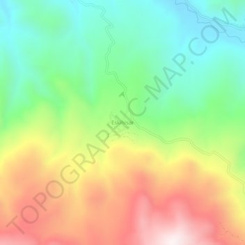
Name: Eskihisar topographic map, elevation, terrain.
Location: Eskihisar, Halkapınar, Konya, Central Anatolia Region, Turkey (37.37768 34.20752 37.41768 34.24752)
Average elevation: 1,576 m
Minimum elevation: 1,215 m
Maximum elevation: 2,083 m
Thank you for supporting this site ❤️
Make a donation
Make a donation
Gear up for your next adventure:
As an Amazon Associate, this site earns from qualifying purchases at no extra cost to you.