
Thank you for supporting this site ❤️
Make a donation
Make a donation
Gear up for your next adventure:
As an Amazon Associate, this site earns from qualifying purchases at no extra cost to you.
Teoloyucan topographic map
Click on the map to display elevation.
Thank you for supporting this site ❤️
Make a donation
Make a donation
Gear up for your next adventure:
As an Amazon Associate, this site earns from qualifying purchases at no extra cost to you.
About this map
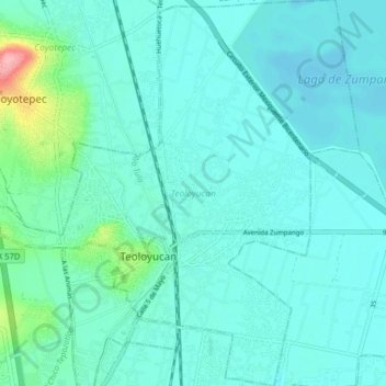
Name: Teoloyucan topographic map, elevation, terrain.
Location: Teoloyucan, State of Mexico, Mexico (19.72034 -99.21654 19.79561 -99.13848)
Average elevation: 2,253 m
Minimum elevation: 2,237 m
Maximum elevation: 2,348 m
Thank you for supporting this site ❤️
Make a donation
Make a donation
Gear up for your next adventure:
As an Amazon Associate, this site earns from qualifying purchases at no extra cost to you.