
Thank you for supporting this site ❤️
Make a donation
Make a donation
Gear up for your next adventure:
As an Amazon Associate, this site earns from qualifying purchases at no extra cost to you.
Tabab topographic map
Click on the map to display elevation.
Thank you for supporting this site ❤️
Make a donation
Make a donation
Gear up for your next adventure:
As an Amazon Associate, this site earns from qualifying purchases at no extra cost to you.
About this map
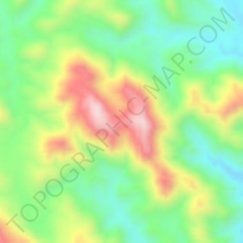
Name: Tabab topographic map, elevation, terrain.
Location: Tabab, Tarib, 'Asir Region, Saudi Arabia (19.18328 43.31662 19.18338 43.31672)
Average elevation: 1,474 m
Minimum elevation: 1,328 m
Maximum elevation: 1,662 m
Thank you for supporting this site ❤️
Make a donation
Make a donation
Gear up for your next adventure:
As an Amazon Associate, this site earns from qualifying purchases at no extra cost to you.