
Lecheria topographic map
Click on the map to display elevation.
About this map
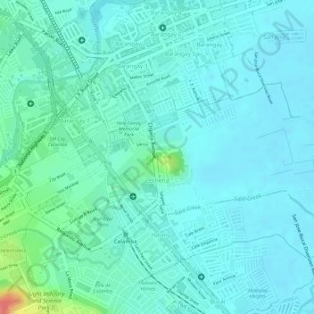
Name: Lecheria topographic map, elevation, terrain.
Location: Lecheria, Calamba, Laguna, Calabarzon, 4027, Philippines (14.19539 121.15712 14.20824 121.18437)
Average elevation: 16 m
Minimum elevation: 1 m
Maximum elevation: 77 m
Other topographic maps
Click on a map to view its topography, its elevation and its terrain.