Geolocate

Centenario topographic map

Click on the map to display elevation.

About this map

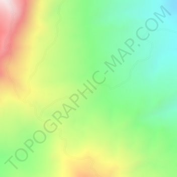
Name: Centenario topographic map, elevation, terrain.

Location: Centenario, Lebrija, Metropolitana, Santander, Colombia (7.22138 -73.31192 7.24138 -73.29192)

Average elevation: 533 m

Minimum elevation: 271 m

Maximum elevation: 882 m

Gear up for your next adventure:

🧥Waterproof Hiking Jacket - Protect yourself from rain and wind while hiking
🥾Light Hiking Boots - Lightweight and comfortable boots for day hikes
🧥Ultralight Puffy Jacket - Maximum warmth that packs down to the size of an orange
🛰️Satellite Messenger - Emergency communication for areas with no cell service
🥾Trail Running Boots - Durable shoes designed for trail running

As an Amazon Associate, this site earns from qualifying purchases at no extra cost to you.