Geolocate

Ankapur topographic map

Click on the map to display elevation.

About this map

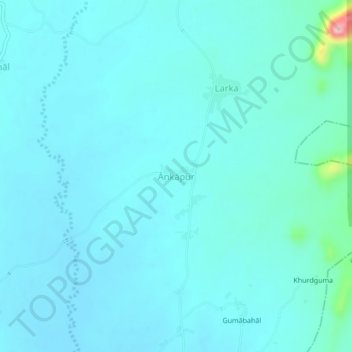
Name: Ankapur topographic map, elevation, terrain.

Location: Ankapur, Boden, Nuapada, Odisha, India (20.16765 82.64240 20.20765 82.68240)

Average elevation: 266 m

Minimum elevation: 247 m

Maximum elevation: 429 m

Gear up for your next adventure:

🔨Vehicle Emergency Tool - Safety tool for remote road trips to trailheads
🚑Survival Whistle - Signal for help across long distances in mountains
🏃Hydration Running Vest - Carry water and maps close to your body for speed
🕶️Polarized Sunglasses - Reduces glare from snow and water at high elevations
🥾Trail Hiking Boots - Supportive boots for rough trails

As an Amazon Associate, this site earns from qualifying purchases at no extra cost to you.