Geolocate

Camaldoli topographic map

Click on the map to display elevation.

About this map
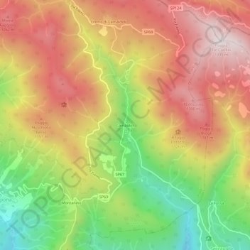
Name: Camaldoli topographic map, elevation, terrain.

Location: Camaldoli, Poppi, Arezzo, Toscana, 52014, Italia (43.77404 11.80038 43.81404 11.84038)

Average elevation: 1,010 m

Minimum elevation: 570 m

Maximum elevation: 1,387 m

Gear up for your next adventure:

👟Sport Hiking Sandals - Breathable footwear for water crossings and camp rest
🗺️Topographic Maps - Detailed maps to explore trails, mountains, and wilderness areas
🧊Portable Cooler - Keep food and drinks cold during outdoor adventures
🧦Hiking Socks - Moisture-wicking and comfortable socks for long hikes
🚲Handlebar Phone Mount - View topographic-map.com live while cycling

As an Amazon Associate, this site earns from qualifying purchases at no extra cost to you.