
Prenj topographic map
Interactive map
Click on the map to display elevation.
About this map
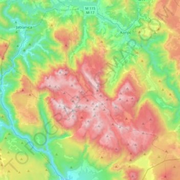
Name: Prenj topographic map, elevation, terrain.
Location: Prenj, Mostar, City of Mostar, Herzegovina-Neretva Canton, B&H (43.44502 17.71887 43.69855 18.07086)
Average elevation: 892 m
Minimum elevation: 87 m
Maximum elevation: 2,072 m