
Chatti topographic map
Interactive map
Click on the map to display elevation.
About this map
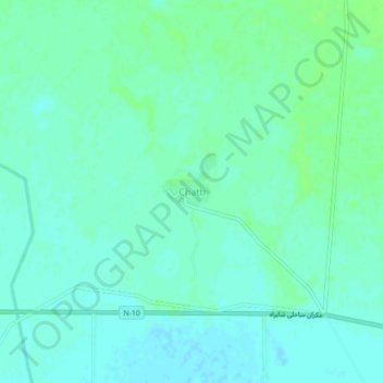
Name: Chatti topographic map, elevation, terrain.
Location: Chatti, Gwadar District, Balochistan, Pakistan (25.27127 62.24438 25.31127 62.28438)
Average elevation: 12 m
Minimum elevation: 8 m
Maximum elevation: 17 m