Geolocate

Brookside topographic map

Click on the map to display elevation.

About this map

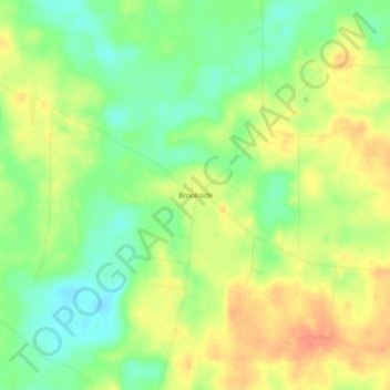
Name: Brookside topographic map, elevation, terrain.

Location: Brookside, Amite County, Mississippi, United States (31.27990 -90.77260 31.31990 -90.73260)

Average elevation: 124 m

Minimum elevation: 102 m

Maximum elevation: 144 m

Gear up for your next adventure:

🥫Freeze-Dried Meals - Lightweight, high-calorie nutrition for multi-day treks
🔋Emergency Crank Radio - Weather alerts and power without needing batteries
🧤Insulated Winter Gloves - Heavy-duty protection for sub-zero Canadian adventures
🛰️Satellite Messenger - Emergency communication for areas with no cell service
Camping Coffee Maker - Brew fresh coffee anywhere on the topographic map

As an Amazon Associate, this site earns from qualifying purchases at no extra cost to you.