Geolocate

VIP Area topographic map

Click on the map to display elevation.

About this map

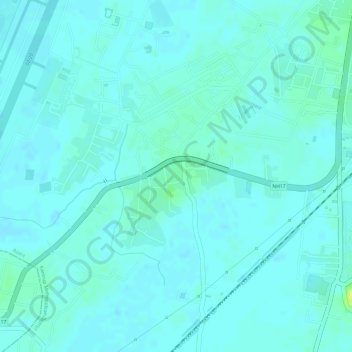
Name: VIP Area topographic map, elevation, terrain.

Location: VIP Area, Azara, Kamrup Metropolitan District, Assam, India (26.09350 91.59364 26.10401 91.60485)

Average elevation: 51 m

Minimum elevation: 47 m

Maximum elevation: 64 m

Gear up for your next adventure:

🧥Thermal Fleece Jacket - Versatile insulation for changing mountain temperatures
🥾Mountain Hiking Shoes - Shoes with superior grip for mountainous terrain
🧢Outdoor Visor - Breathable visor for sunny hikes
🥾Trekking Boots - Durable boots for long-distance trekking
🏃Hydration Running Vest - Carry water and maps close to your body for speed

As an Amazon Associate, this site earns from qualifying purchases at no extra cost to you.