
Wesepe topographic map
Interactive map
Click on the map to display elevation.
About this map
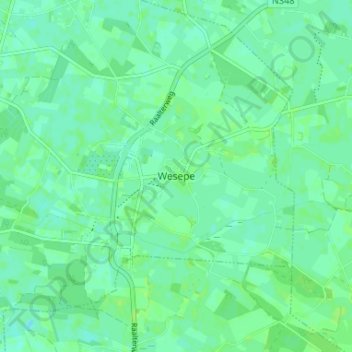
Name: Wesepe topographic map, elevation, terrain.
Location: Wesepe, Overijssel, Niederlande, 8124, Niederlande (52.31023 6.19387 52.35023 6.23387)
Average elevation: 6 m
Minimum elevation: 1 m
Maximum elevation: 9 m