
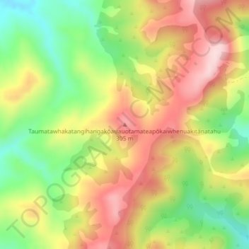
Taumatawhakatangihangakōauauotamateapōkaiwhenuakitānatahu topographic map
Interactive map
Click on the map to display elevation.
About this map
Name: Taumatawhakatangihangakōauauotamateapōkaiwhenuakitānatahu topographic map, elevation, terrain.
Average elevation: 199 m
Minimum elevation: 61 m
Maximum elevation: 332 m
Other topographic maps
Click on a map to view its topography, its elevation and its terrain.
Folgers Hill
New Zealand > Hawke's Bay > Central Hawke's Bay District
Folgers Hill, Central Hawke's Bay District, Hawke's Bay, New Zealand
Average elevation: 519 m