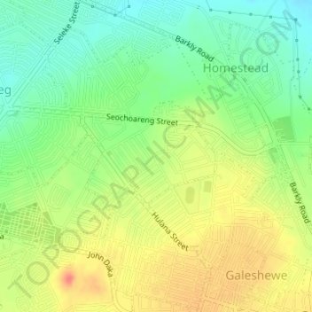
Sol Plaatje Ward 12 topographic map
Interactive map
Click on the map to display elevation.
About this map
Name: Sol Plaatje Ward 12 topographic map, elevation, terrain.
Average elevation: 1,200 m
Minimum elevation: 1,175 m
Maximum elevation: 1,226 m

Click on the map to display elevation.
Name: Sol Plaatje Ward 12 topographic map, elevation, terrain.
Average elevation: 1,200 m
Minimum elevation: 1,175 m
Maximum elevation: 1,226 m