
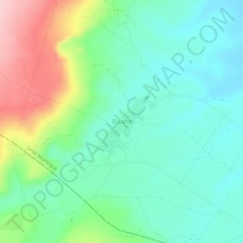
Ruaha topographic map
Interactive map
Click on the map to display elevation.
About this map
Name: Ruaha topographic map, elevation, terrain.
Location: Ruaha, Lindi Municipal, Lindi, Coastal Zone, Tanzanie (-10.11679 39.55177 -10.07679 39.59177)
Average elevation: 93 m
Minimum elevation: 30 m
Maximum elevation: 240 m