
Make a donation
Gear up for your next adventure:
As an Amazon Associate, this site earns from qualifying purchases at no extra cost to you.
Conception topographic map
Click on the map to display elevation.
Make a donation
Gear up for your next adventure:
As an Amazon Associate, this site earns from qualifying purchases at no extra cost to you.
About this map
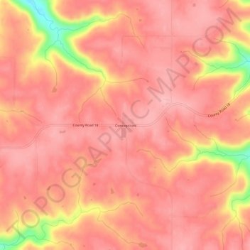
Name: Conception topographic map, elevation, terrain.
Location: Conception, Wabasha County, Minnesota, United States (44.24552 -92.12989 44.28552 -92.08989)
Average elevation: 338 m
Minimum elevation: 235 m
Maximum elevation: 366 m
Make a donation
Gear up for your next adventure:
As an Amazon Associate, this site earns from qualifying purchases at no extra cost to you.
Other topographic maps
Click on a map to view its topography, its elevation and its terrain.
Plainview
United States > Minnesota > Wabasha County
Plainview was platted in 1857. The city was named from its location on a plain at a lofty elevation, where a "plain view" can be had of the surrounding area. A post office has been in operation at Plainview since 1857. Plainview was incorporated in 1875.
Average elevation: 348 m
Make a donation
Gear up for your next adventure:
As an Amazon Associate, this site earns from qualifying purchases at no extra cost to you.