Geolocate

Khirsu topographic map

Click on the map to display elevation.

About this map

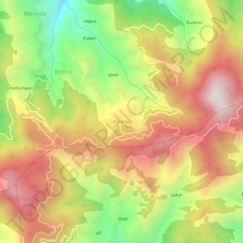
Name: Khirsu topographic map, elevation, terrain.

Location: Khirsu, Srinagar, Pauri Garhwal, Uttarakhand, 246147, India (30.15141 78.84837 30.19141 78.88837)

Average elevation: 1,708 m

Minimum elevation: 1,185 m

Maximum elevation: 2,165 m

Other topographic maps

Click on a map to view its topography, its elevation and its terrain.

Srinagar Garwal

India > Uttarakhand > Srinagar

Average elevation: 777 m

Srinagar Garwal

India > Uttarakhand > Srinagar

Average elevation: 777 m

Gear up for your next adventure:

Tent Footprint - Protect tent floor and increase durability
🏃Hydration Running Vest - Carry water and maps close to your body for speed
🥾Trekking Poles - Adjustable trekking poles to reduce knee stress and improve stability
🧥Softshell Jacket - Windproof and breathable jacket for hiking
🧢Sun Protection Cap - Breathable cap to protect from sun exposure

As an Amazon Associate, this site earns from qualifying purchases at no extra cost to you.