Geolocate

Steinbach topographic map

Click on the map to display elevation.

About this map

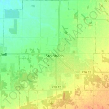
Name: Steinbach topographic map, elevation, terrain.

Location: Steinbach, Winnipeg (city), Manitoba, Canada (49.48797 -96.75618 49.57488 -96.64279)

Average elevation: 262 m

Minimum elevation: 247 m

Maximum elevation: 281 m

Manitoba trails, hiking, mountain biking, running and outdoor activities

Gear up for your next adventure:

🧦Outdoor Socks - Durable socks designed for hiking and outdoor sports
🥾Mountain Hiking Shoes - Shoes with superior grip for mountainous terrain
🥾Approach Shoes - Shoes designed for climbing approaches and rugged trails
🌡️Emergency Mylar Blankets - Compact thermal protection for unexpected nights outdoors
🦟Insect Repellent - Keep mosquitoes and black flies away in wooded areas

As an Amazon Associate, this site earns from qualifying purchases at no extra cost to you.