
Grand Tower topographic map
Interactive map
Click on the map to display elevation.
About this map
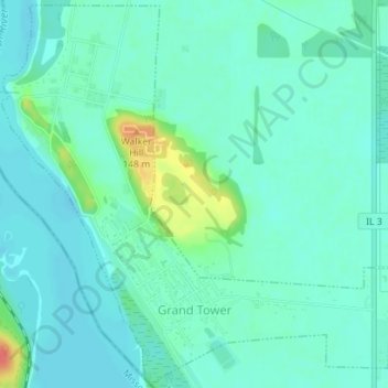
Name: Grand Tower topographic map, elevation, terrain.
Average elevation: 111 m
Minimum elevation: 99 m
Maximum elevation: 154 m
Other topographic maps
Click on a map to view its topography, its elevation and its terrain.
Vergennes
Vereinigte Staaten von Amerika > Illinois > Jackson County > Vergennes
Vergennes, Jackson County, Illinois, Vereinigte Staaten von Amerika
Average elevation: 121 m