
Rocca Calascio topographic map
Click on the map to display elevation.
Rocca Calascio
At an elevation of 1,512 metres (4,961 ft), the castle is the highest fortress in the Apennines. Built of stone and masonry exclusively for military purposes and intended only to accommodate troops and never as residence for nobles, the fortress overlooks the Plain of Navelli at one of the highest points in the ancient Barony of Carapelle.
About this map
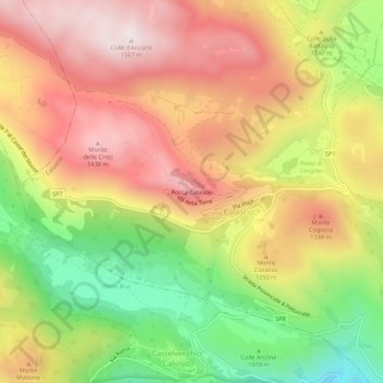
Name: Rocca Calascio topographic map, elevation, terrain.
Location: Rocca Calascio, Calascio, L'Aquila, Italy (42.30803 13.67077 42.34803 13.71077)
Average elevation: 1,171 m
Minimum elevation: 777 m
Maximum elevation: 1,506 m