Geolocate

Runan County topographic map

Click on the map to display elevation.

About this map

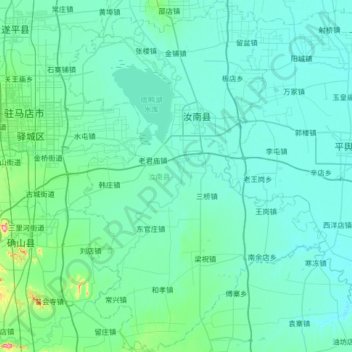
Name: Runan County topographic map, elevation, terrain.

Location: Runan County, Zhumadian City, Henan, China (32.63099 114.10026 33.18911 114.58879)

Average elevation: 63 m

Minimum elevation: 39 m

Maximum elevation: 337 m

Gear up for your next adventure:

🧦Outdoor Socks - Durable socks designed for hiking and outdoor sports
🔦LED Headtorch - Bright and durable light for night activities
🧴Insect Repellent - Protect yourself from bugs during outdoor adventures
🪑Ultralight Camping Stool - Compact seating for rest stops during long hikes
🥾Hiking Shoes - Durable and comfortable shoes for trail hiking

As an Amazon Associate, this site earns from qualifying purchases at no extra cost to you.